


 vs iPad Pro (M4): what’s changed?")


![]()
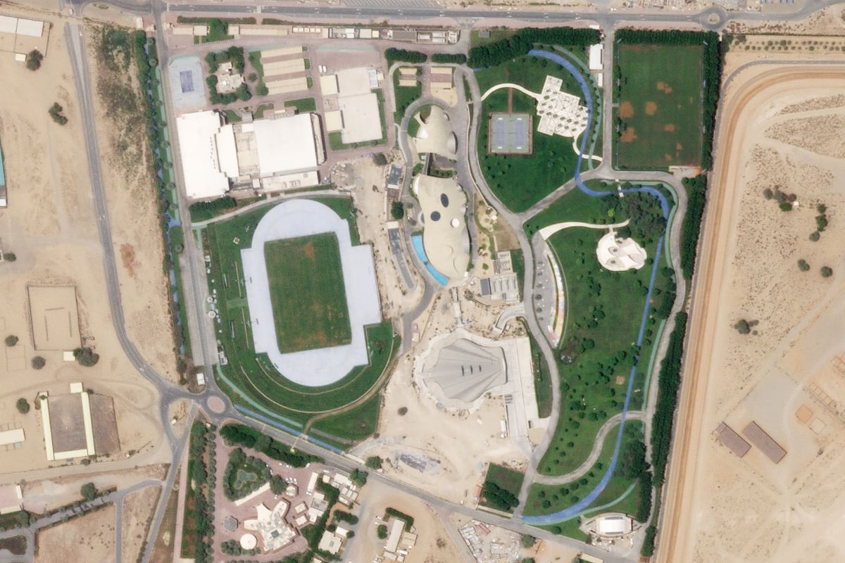
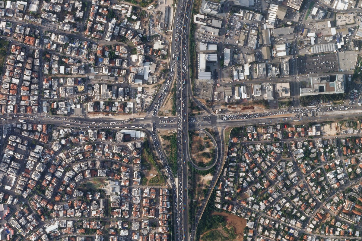
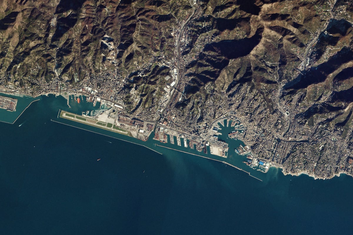
Satellite images of the Earth make it possible not only to find the desired object on the map, but also to study environmental changes, as well as monitor the life of cities and states.
There are several companies around the world that photograph our planet from space. But they use similar satellites, so from a technology point of view there are no fundamental differences between them.
In this article we will figure out how to get photographs of the Earth from space, and at the same time learn how to get satellite maps.
Short description
When was the first satellite image of the Earth taken?
How satellites work
How much does a satellite cost?
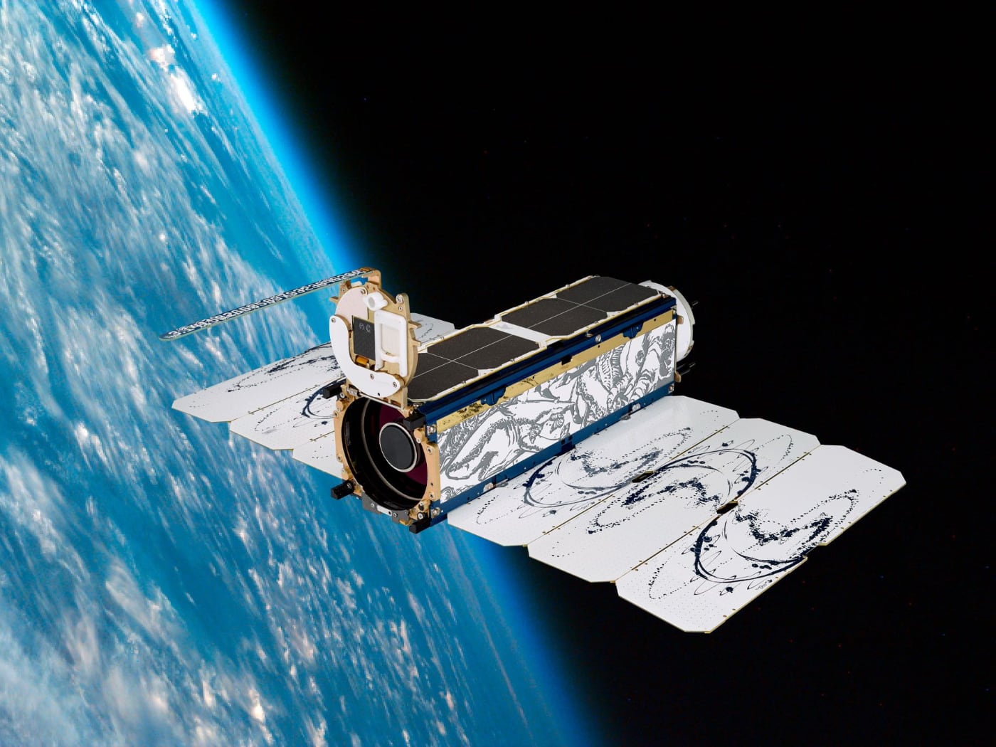
How satellites photograph the Earth from space
How is a meteorological satellite image organized?
How else can you film the Earth from space?
How to identify satellite maps
How the satellite photography industry is changing
When was the first satellite image of the Earth taken?
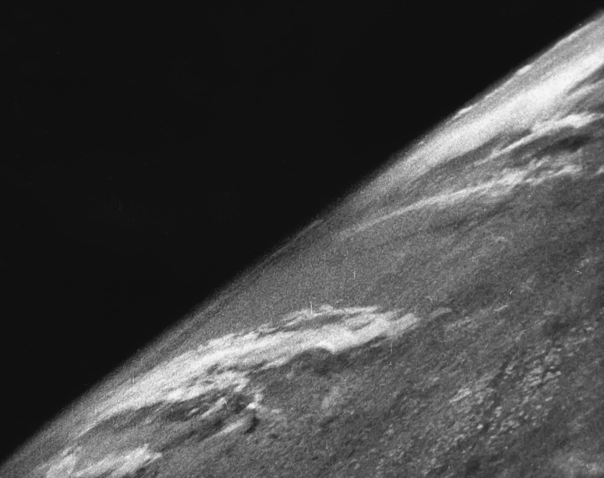
A photograph of the Earth taken from a V-2 rocket in 1946.
In 1946, American scientists captured the camera on a German V-2 rocket and launched it into space. The camera captured grainy video of the Earth being seen from space for the first time.
The first satellite designed specifically to image the Earth was Explorer VI.. It was launched in 1959, two years after the launch of the world’s first artificial satellite, created in the USSR.
In 1972, the astronauts who traveled to the Moon aboard Apollo 17 took one of the most famous photographs of the 20th century, Blue Marble. This was the first sufficiently clear photograph of the Earth taken by man.
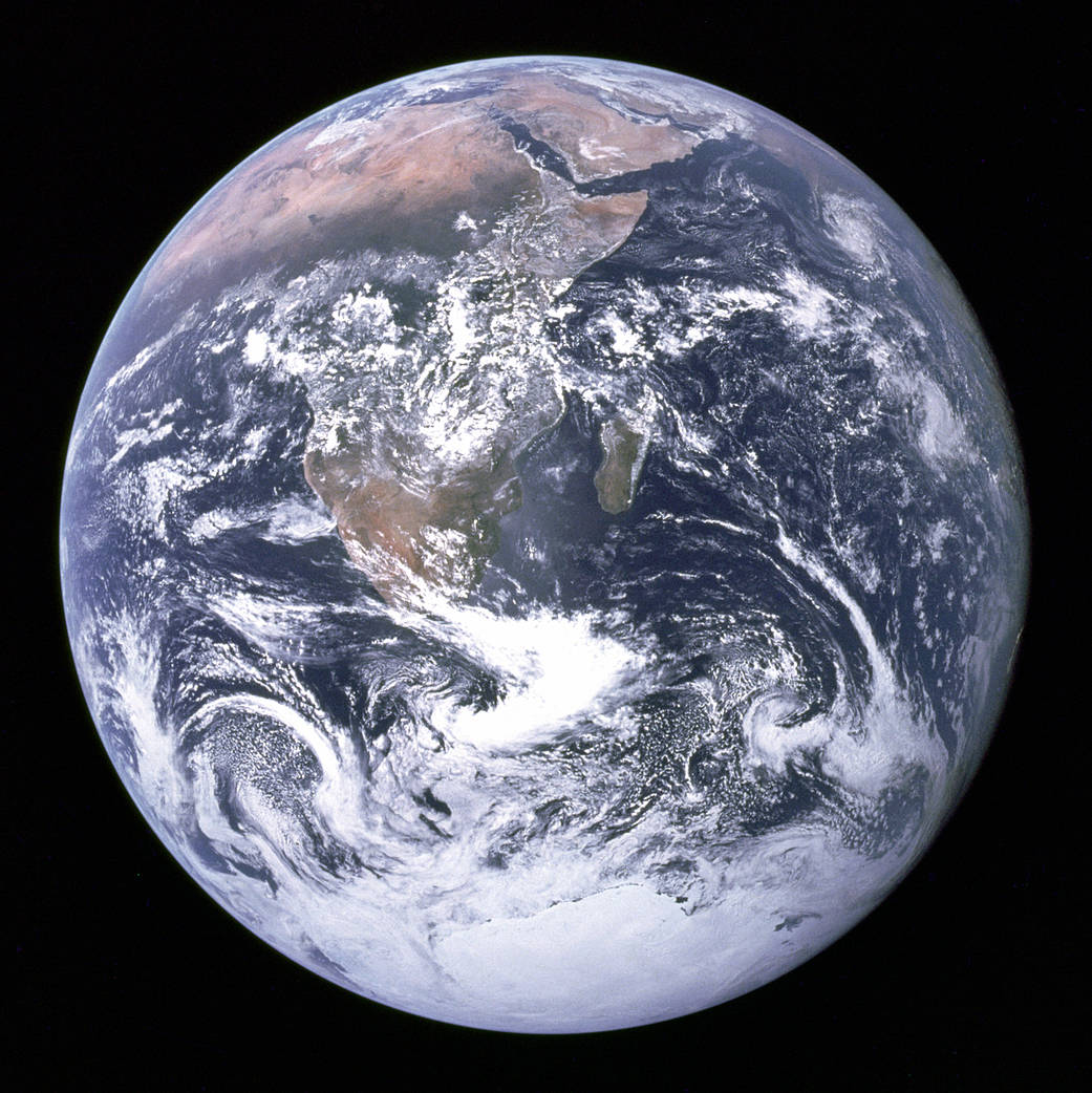
“Blue Marble” (Blue Marble)
That same year, the Landsat satellite launched a similar program to obtain detailed images of the Earth that is still in operation today.
Currently There are more than 1,000 active and about 2,600 inactive satellites in low-Earth orbit.. Most of them were used for communication. The second most common use case is photography, with nearly 400 satellites. They are managed by both private individuals and state-owned companies.
◦ Back to contents ◬
How satellites work
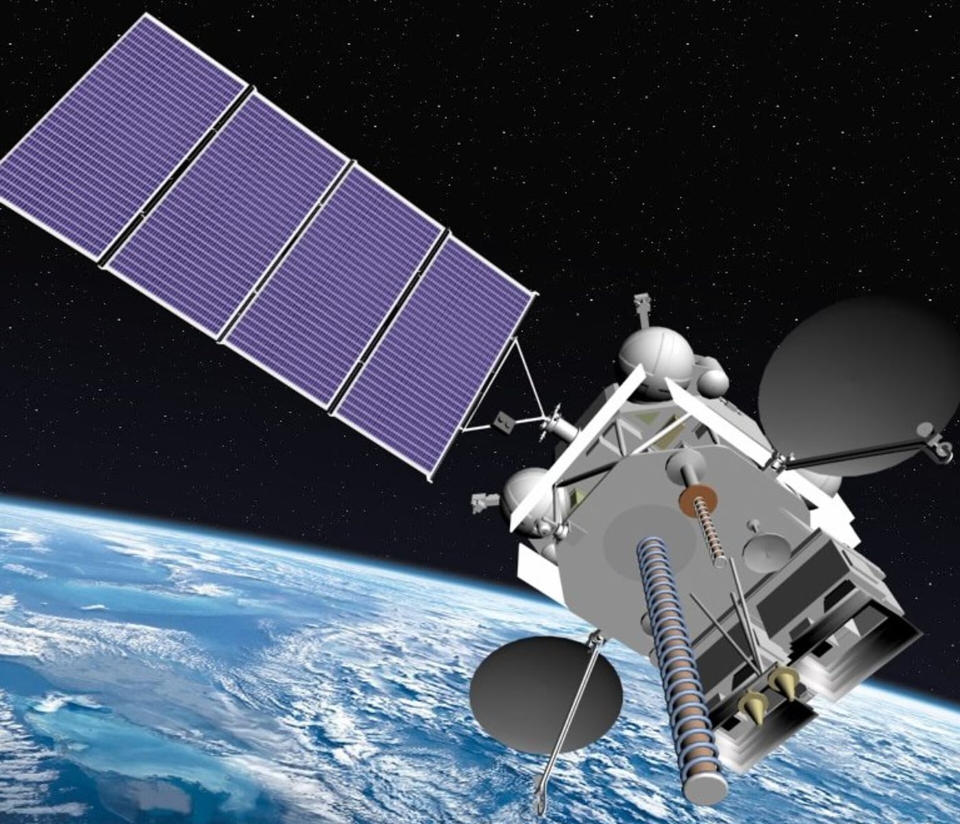
Russian weather satellite “Electro-L”.
Satellites come in different shapes and sizes. But most of them have at least two main elements – an antenna and a power source. The antenna sends and receives information from the Earth. The power source can be a solar panel or battery.
Many satellites are equipped with cameras and sensors for scientific research.. Sensors can be pointed at Earth to obtain information about soil, water and air.
A satellite orbits the Earth when its speed is balanced by the planet’s gravity. Without this balance, the satellite would fly in a straight line into space or fall back to Earth.
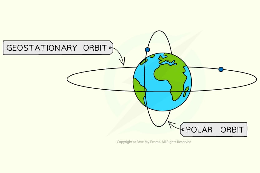
Around the Earth Satellites orbit at different altitudes, at different speeds and along different trajectories.. The two most common types of orbits are geostationary and polar.
A geostationary satellite moves from west to east over the equator. It moves in the same direction and at the same speed as the planet, and is always in the same place. Satellites in polar orbit are directed from north to south, that is, from pole to pole.
All satellites in space fly in an orderly manner because companies and space agencies are constantly monitoring them.
◦ Back to contents ◬
How much does a satellite cost?
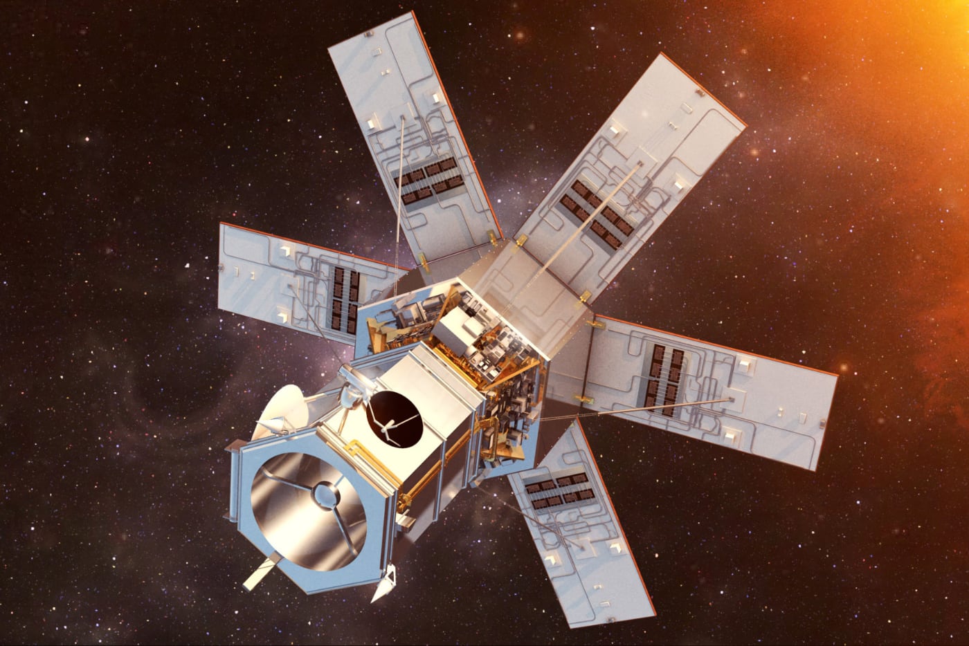
Maxar WorldView 4.
All over the world, more than 20 companies, not counting state ones, are engaged in satellite imaging of the Earth. The most famous are: Maxar, Iceye, Planet, MapBox and Satellogic.
The planet was founded in 2010 and launched its first satellites in 2013. It now has about 200 satellites in orbit. This more than any other private company.
Planet primarily uses Dove satellites, each of which weighs 5.8 kg and measures 100 mm × 100 mm × 340 mm. Dove photographs the Earth every day and produces images as high as 3.7 meters.
Planet Dove
Every The Dove satellite costs about $1 million., including launch and support. By scientific standards, this is considered a little. But Planet, like other companies, is reluctant to talk about the cost of equipment.
Conventional rockets were used to launch the satellite into orbit. Previously, many foreign companies collaborated with Roscosmos and launched equipment on Soyuz rockets. Recently, SpaceX launch vehicles have increasingly been used instead.
◦ Back to contents ◬
How satellites photograph the Earth from space
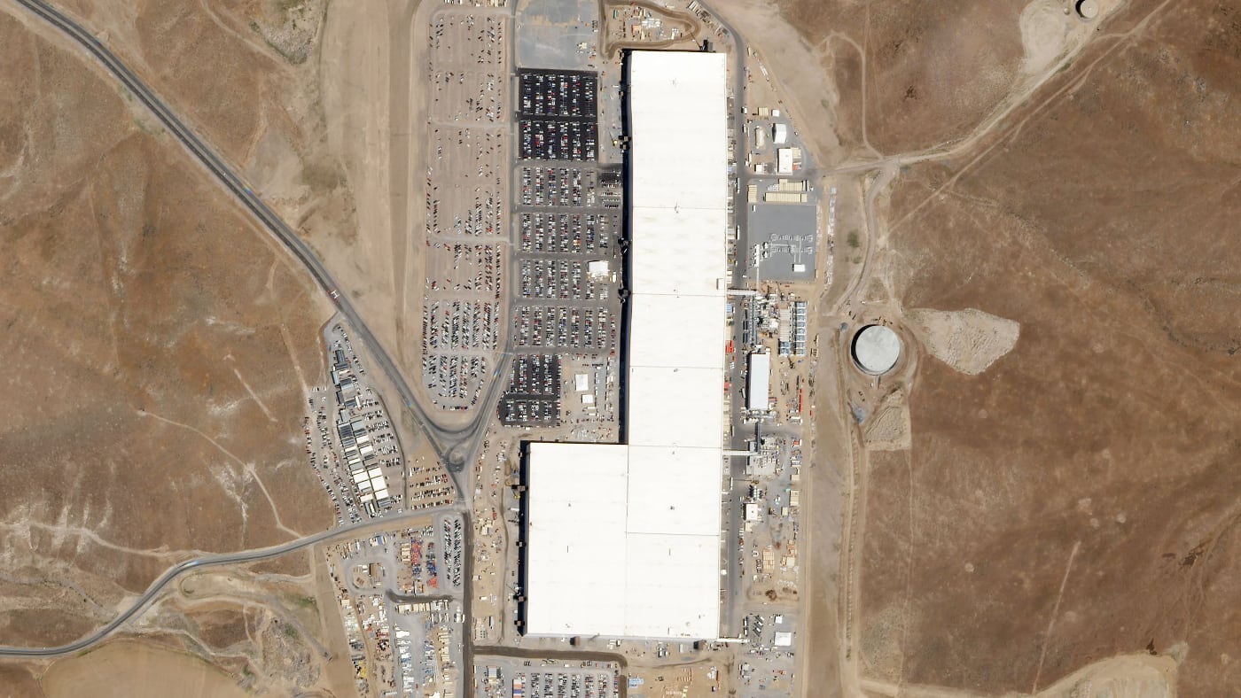
Tesla Gigafactory in Nevada, photographed by the Planet Dove satellite.
Because the Earth is a giant sphere, a satellite cannot photograph the entire surface at once. Planet’s satellites orbit the planet’s women every 90 minutes, so the company receives data almost immediately.
Images of the entire planet take up petabytes of memory, and the higher the resolution of a photo, the more space it takes up on your hard drive. Therefore, satellite cameras do not photograph the entire earth’s surface, but begin to shoot only for a given task and in certain coordinates.
Unfavorable factors for satellite imaging of the Earth This could be heavy clouds, snowy terrain, peculiar terrain, darkness or atmospheric features.
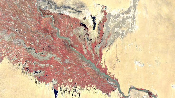
Image of the Earth on the Landsat-1 satellite.
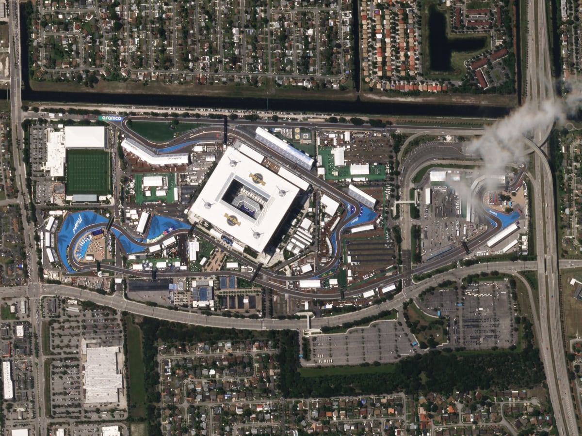
The Formula 1 track in Miami, filmed on the modern Planet SkySat satellite.
The first Landsat satellite, launched in 1972, had a resolution of 80 meters. It should be noted that in the photographs taken it was possible to determine the distance from each other from other objects with a diameter of at least 80 meters.
Some WordView satellites are capable of displaying objects less than one meter in size. The level of the most advanced military and government satellites is unknown.
Filmed on Maxar WordView 4 satellite.
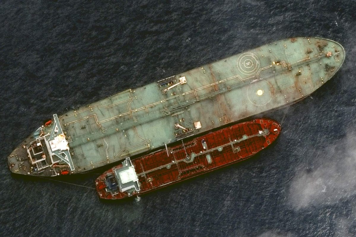
Oil terminal in Iraq. Planet SkySat satellite image with a development of 50 cm.
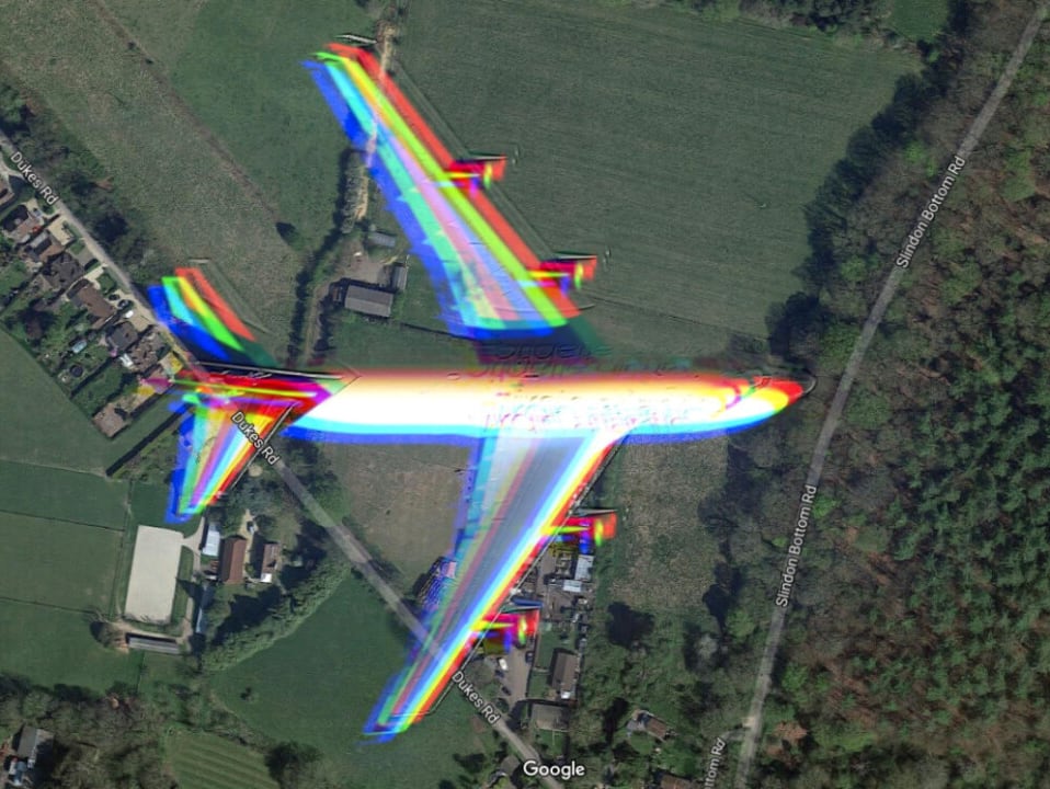
The camera on the satellite takes two pictures at a time: black and white and color. Black and white photographs are the “basic” for satellite maps. A color photo has a lower resolution and smaller size. It is stretched and superimposed onto a black and white photograph.
As a result, these two photographs will be smaller in size than one color photograph with the development of a black and white photograph.
This provides an easy view if an aircraft is captured in the satellite image. In this case, the image will show the plane itself and the colored “trace” next to it. The satellite camera takes pictures with a difference of a few microseconds, but during this time the plane establishes a flight over a certain distance, so a copy of it is displayed on the satellite map.
Satellite phones are required for each specific shoot.. For example, photographing the ocean or taiga in high resolution is impractical. Satellites with a powerful camera of 23 or 188 meters in length are suitable for this, and this bag copes well with the Indian IRS.
If you need to photograph an object with a high level of resolution, then this is a matter of modern satellites. For example, Tesla commissions Dove satellite imaging of the Planet so investors can make observations in space at the automaker’s Nevada plant.
◦ Back to contents ◬
How is a meteorological satellite image organized?
Satellite photographs of the Earth are often used for weather forecasting. But The operating principle of a weather satellite is different from a conventional one.
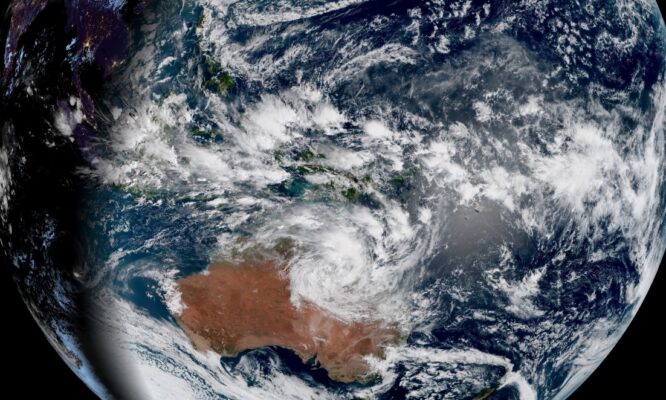
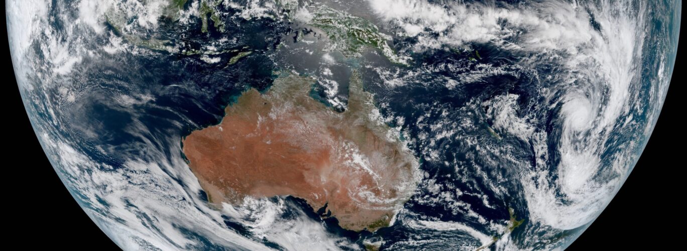
Such satellites used multispectral sensor imaging that takes photos of distant areas and captures one side of the Earth for 10 minutes. For example, all of Australia fits on three stripes.
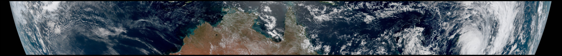

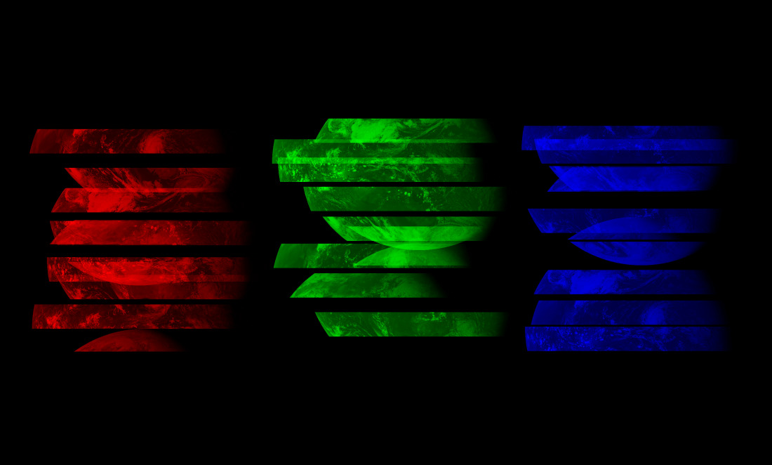
The image isn’t just cut into strips – it’s also broken down piece by piece into its colors. new the image we see consists of the brightest, green and blue pixels.
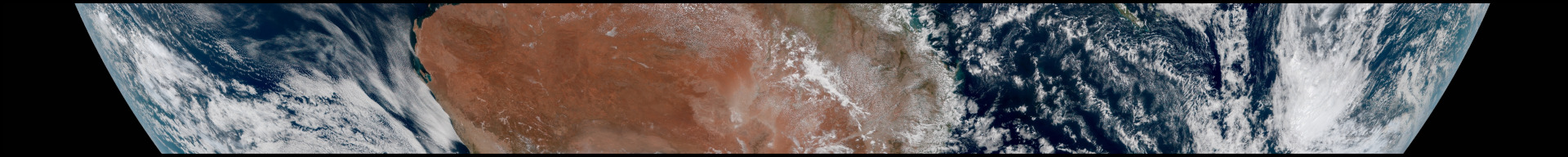
Below is the same area (Australia), but in its original form. At first glance, the photographs present a puzzle that is impossible to solve.
Each pixel in these images corresponds to approximately 1 km on Earth.. We are dealing with photos that are thousands of kilometers in size, where multiple images can show a storm or other natural and significant weather events.
Collecting a photo is not an easy task. It is necessary to align all the stripes, arrange the color components and compare the resulting image with the latest ones in order to compare the changes.
Scientists at the Japan Meteorological Agency use these supercomputers that perform operations in minutes read. In addition to rendering the frame, the supercomputer optimizes the white balance, bringing it to ideal, although it is very heavy, so cold frames are greatly accelerated in many photographs.
But all this is possible when the photo is taken during the day. At night, each satellite picks up infrared light, so the sea, land and even clouds can be seen in the image at night.
◦ Back to contents ◬
How else can you film the Earth from space?
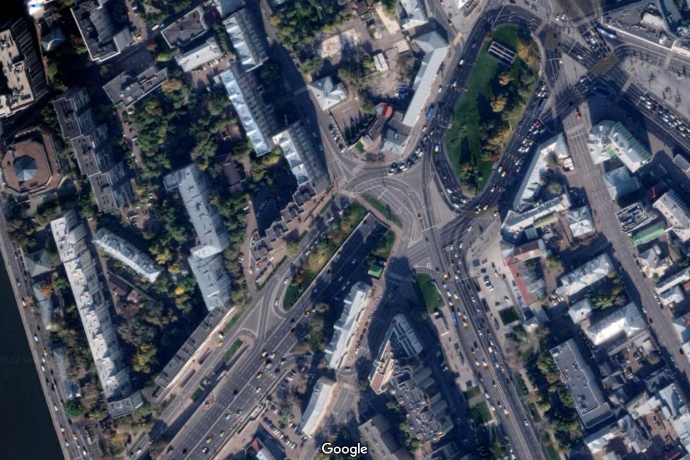
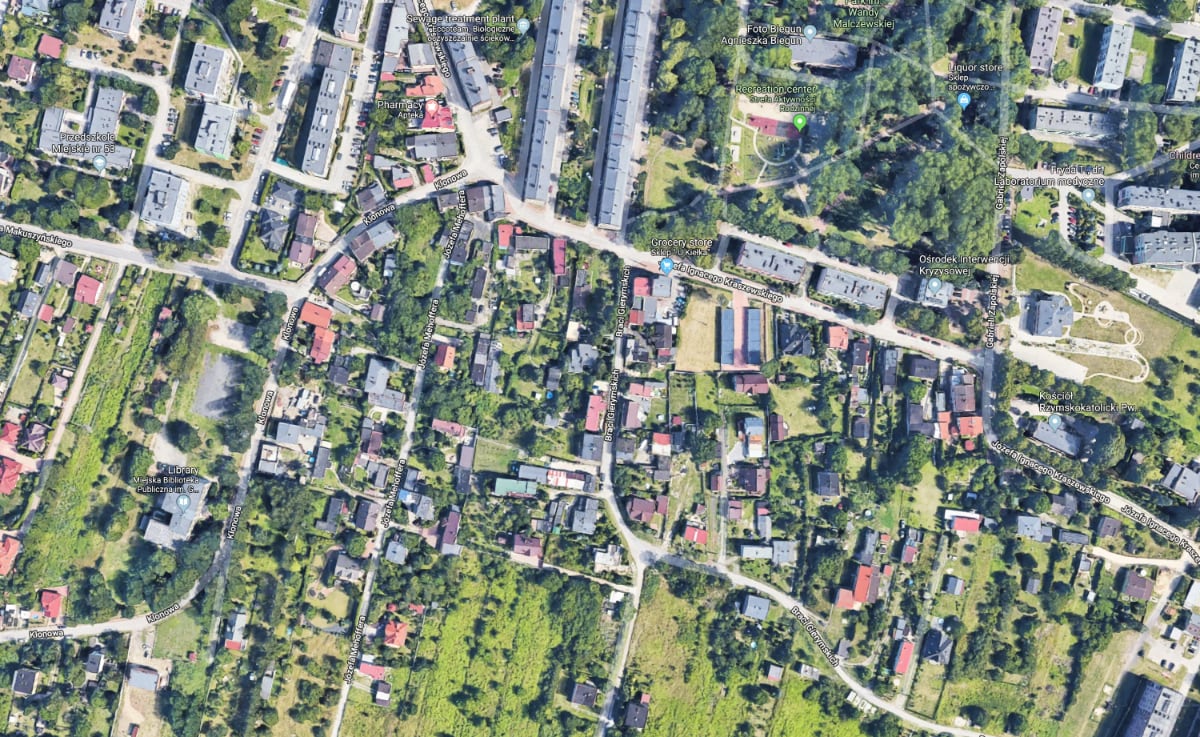
Moscow on Google Maps.
When we select the satellite view of the map in Google Maps, it actually shows just photographs of the Earth, which are not always taken from space.
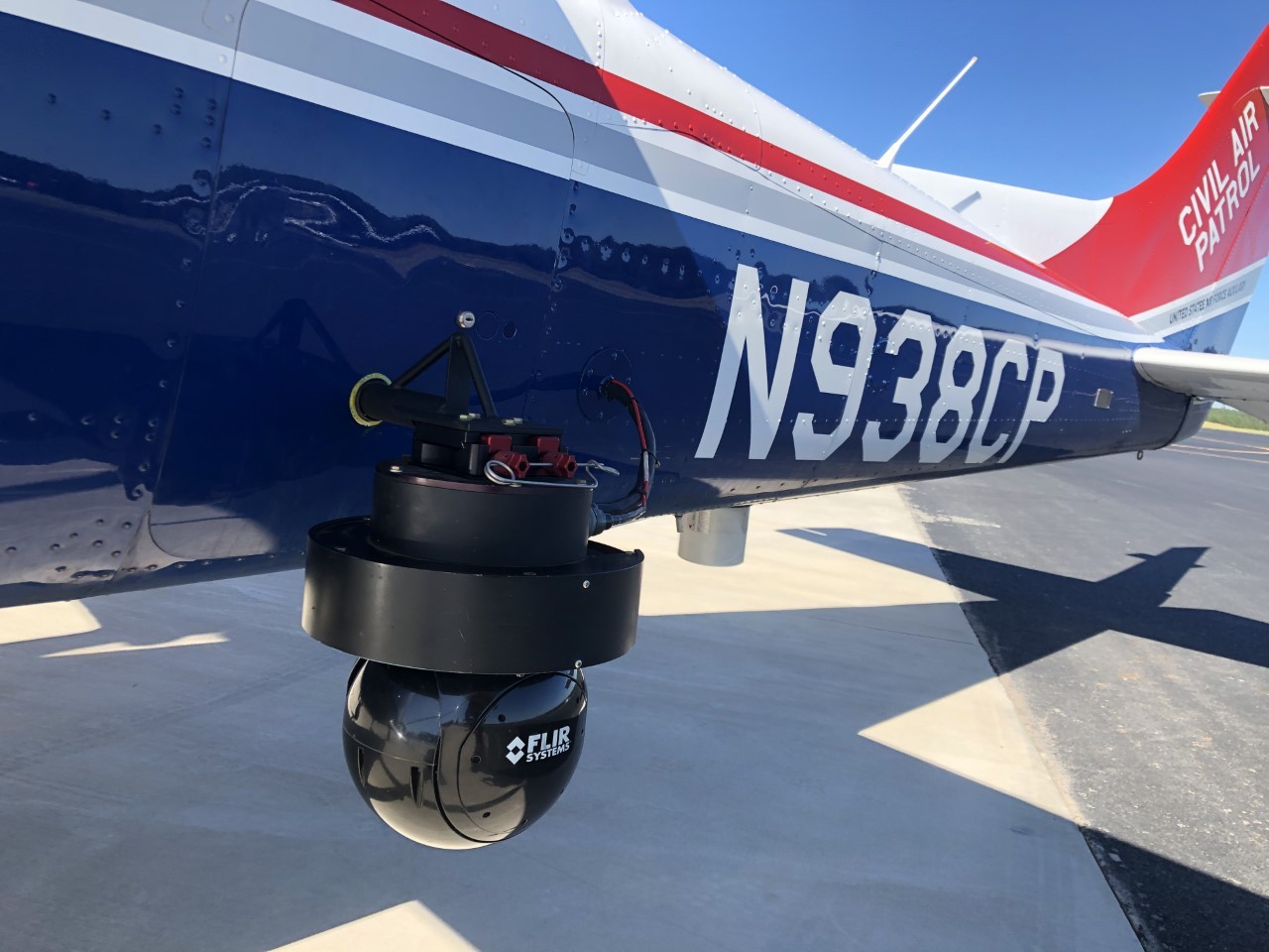
There is a whole industry of commercial aerial photography. Airlines install cameras on planes and film the area as they fly over it.. This happens all the time in many countries.
Google actively uses aerial photographybecause such images are of very high quality and clear enough for the creation of created maps.
In parts of the world where aerial photography is not common, Google provides satellite images. Satellite photos are not as high quality, but they capture the whole world.
◦ Back to contents ◬
How to identify satellite maps
Google obtains imagery for its maps from a variety of providers, including agencies, geoscience companies, and satellite photography companies. These images were taken on different days, under different lighting and weather conditions.
All Google images are taken together using photogrammetry. In simple terms, it is the process of creating 3D models from multiple images of the same object, photographed from different angles. Google helps a lot with this. machine learning that can independently change results and improve resolution.
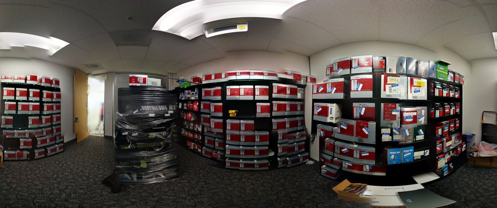
Google’s room, home to boxes of the best aerial photography discs.
Aerial images are hosted by Google on hard drives and subsequently included in Google Cloud. Satellite image providers immediately upload them to Google Cloud.
The photos come in raw format, such as from a weather satellite. That is, they are not yet “placed on the ground” and are divided into red, blue and green images, as well as black and white images that include finer details. Then Google links all the pictures together to ensure they are placed correctly on the map. and looked beautiful.
Satellite view on Google Maps.
Most often, Google updates satellite imagery in densely populated regions and large cities.
We’ll be updating satellite images of the places that are changing the most. For example, since major cities are constantly evolving, we update our satellite imagery annually. For medium-sized cities, we update managers’ reports every two years, and for small cities this figure increases to once every three years. In general, our goal is to regularly update the scales of densely populated areas and keep up with the changing world, so we will update the scales more often if the parties believe there is active construction of buildings or roads there.
Matt Manolides, Google Location Strategist
Yandex.Maps and Apple Maps work in a similar way, but with the development of scale.
◦ Back to contents ◬
How the satellite photography industry is changing

Satellite imaging is an important factor for cartographers, meteorologists, military personnel, scientists and just people who like to study the Earth from photographs from space.
In the future, satellites will be able to photograph the Earth in even more detail, especially in those places where quadcopters cannot fly, which, in turn, are already being used with might and main to photograph our planet from the air.
◦ Back to contents ◬
Source: Iphones RU
I am a professional journalist and content creator with extensive experience writing for news websites. I currently work as an author at Gadget Onus, where I specialize in covering hot news topics. My written pieces have been published on some of the biggest media outlets around the world, including The Guardian and BBC News.
: Everything we know a week after its release")


