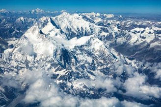
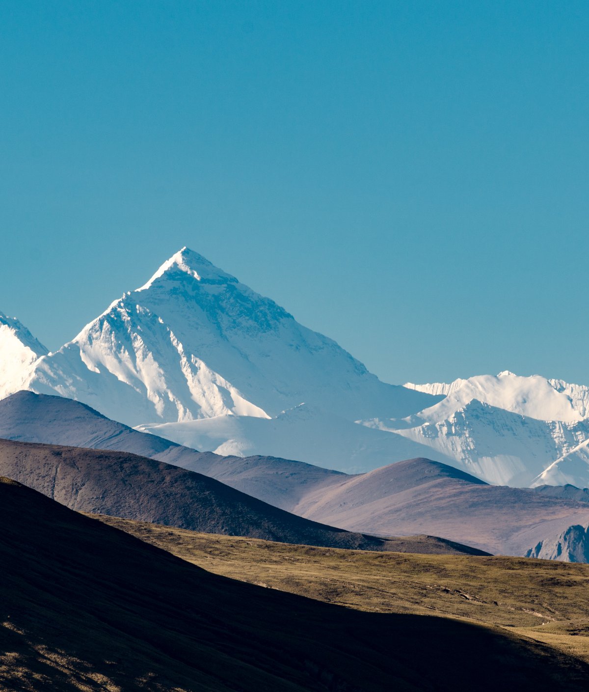
In a study published in the scientific journal Nature Geoscience, a group of researchers We explored Mount Everest to find out why it’s the highest peak in the Himalayas — It is also considered the highest mountain in the world. In total, Everest is approximately 8,848 meters above sea level.
Scientists suggest that the dense growth of the mountain may have occurred due to a phenomenon known as river piracy or river capture. According to researchers at University College London (UCL), Due to a natural phenomenon such as the capture of the river, Mount Everest is 15 to 50 meters higher.
About 89,000 years ago the Kosi river network cut through the mountain and joined the Arun River. Then, in a slow process over thousands of years, this event released billions of tons of soil and sediment.
What happens is that this network of rivers is located 75 kilometers from the summit of Mount Everest, and every time it releases more material, the mountain rises by up to 2 millimeters per year; The result of this process is called isostatic rebound. According to the study’s researchers, the peak may have grown by up to 50 meters in the past century and will likely continue to grow..
“There is an interesting river system in the Everest region. The Arun River, stretching upwards, flows eastward at high altitude through a flat valley. It then turns sharply south, like the Kosi River, decreasing in height and becoming steeper. This unique topography, unstable situation, is probably due to Everest’s “It’s related to its extreme height,” said study co-author Dr. Jin-Gen Dai.
Size of Mount Everest
In an official statement, scientists say the ongoing rise caused by the encroachment of rivers is not just occurring on Mount Everest. This growth is also likely to affect Lhotse and Makalu, the world’s fourth and fifth highest peaks.. Also closer to the river network, Makalu Peak has a significantly higher growth rate.

During the capture of the river, the Arun River began to receive more water from the source of the Kosi River, causing rocks and sediments to settle to the surface. This caused the mountain to rise. Although these changes may not be noticeable in the short term, over millions of years Everest can grow significantly..
“Elastic models predict that this unsteady erosion triggered an isostatic response and surface uplift over a wide geographic area. Some of Chomolungma’s anomalous height (between 15 and 50 m) was caused by capture, highlighting the complex interplay between geological dynamics and the formation of topographic features.” We propose that it can be explained as an isostatic response to triggered river incision,” the study concludes.
Do you have any questions? Tell us on our social networks and get the opportunity to share the article with your friends. Until later!
Source: Tec Mundo
I’m Blaine Morgan, an experienced journalist and writer with over 8 years of experience in the tech industry. My expertise lies in writing about technology news and trends, covering everything from cutting-edge gadgets to emerging software developments. I’ve written for several leading publications including Gadget Onus where I am an author.


