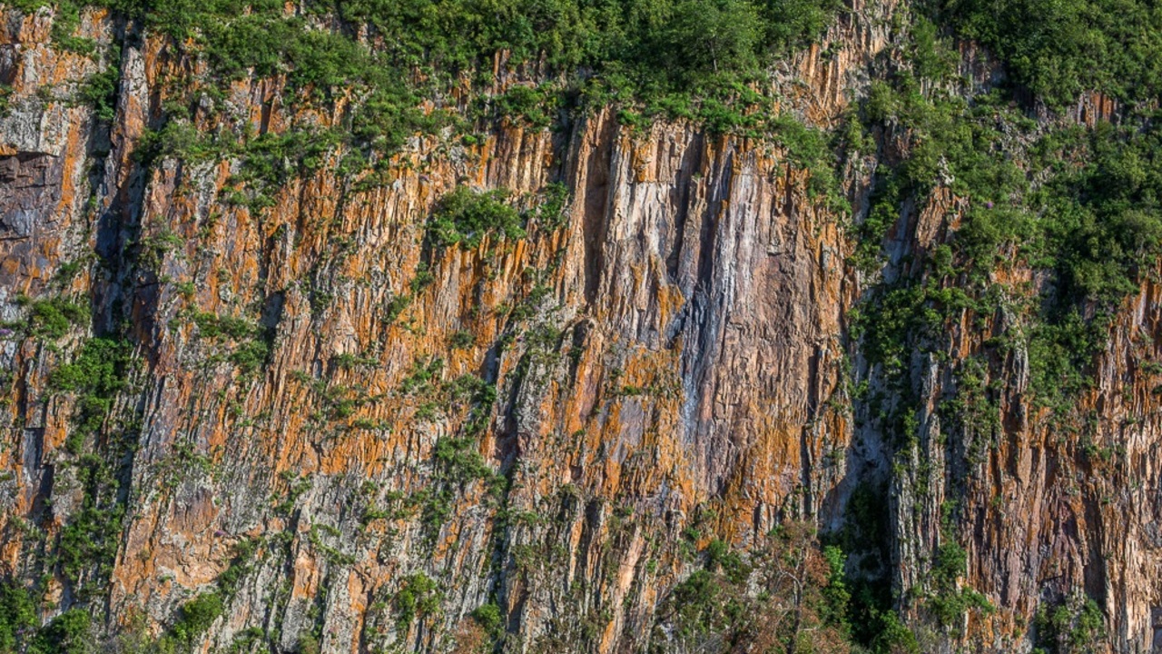
It was led by researchers from the Fryazino branch of the VA’s Institute of Radio Engineering and Electronics named after him. Kotelnikov RAS analysis of satellite images shows that in the Khabarovsk Territory it is possible to collapse the banks of the Bureya River at an altitude of 400 meters. Blocking of the river bed by the mountain mass will pose a threat to the Bureya hydroelectric power station and may flood all the villages along the banks of the Bureya reservoir, even reaching the Baikal-Amur Main Line (BAM).
A similar collapse occurred in December 2018. Then the slope of a 400-meter hill collapsed into the reservoir, causing a large wave and completely blocking the flow of the river. The cause of the landslide, according to scientists, was the trial operation of the reservoir, as a result of which the slope began to wash out. To eliminate the consequences of the landslide, a canal was made at the beginning of 2019 with the help of a series of explosions.
Examination of the radar data revealed a large new portion of the coastal slope moving towards the river. The average velocity of soil movement is about one centimeter per month, which is a lot, said Alexander Zakharov, principal investigator of IRE RAS.
Measuring 150 by 300 meters, the active site is located on a hill above a landslide bowl that lowered five years ago. The height of the riverbank in this place exceeds 400 meters.
Source: Ferra
I am a professional journalist and content creator with extensive experience writing for news websites. I currently work as an author at Gadget Onus, where I specialize in covering hot news topics. My written pieces have been published on some of the biggest media outlets around the world, including The Guardian and BBC News.


