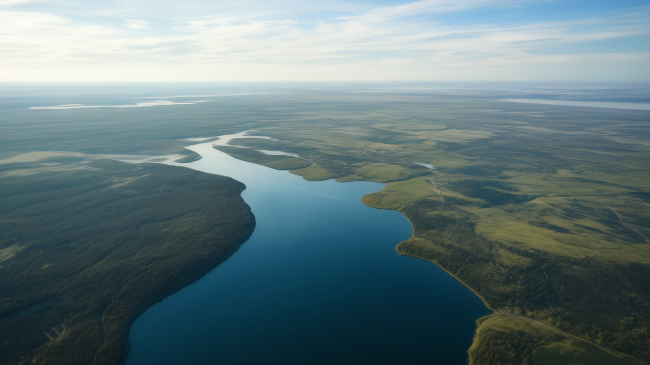
The project is divided into two stages: the first involves the digitization of the northern part of Lake Onega, covering an area of 4,840 square kilometers by November this year, and the second involves the study of the southern part of the lake, covering an area of 4,877 square kilometers. The press service noted that the survey of 1,877 square kilometers will end in November 2025.
Satellite images of the coastline, cartographic and hydrographic studies will be used to create the ENC. The project will include Sitronics KT developments, including modern research automation systems and navigation systems.
Source: Ferra
I am a professional journalist and content creator with extensive experience writing for news websites. I currently work as an author at Gadget Onus, where I specialize in covering hot news topics. My written pieces have been published on some of the biggest media outlets around the world, including The Guardian and BBC News.


