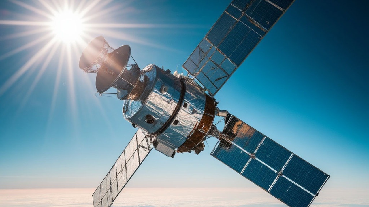
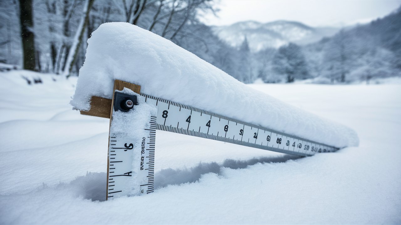
To more accurately predict the flow of water through snow, scientists from NASA and the University of Massachusetts developed the SNOWWI radar. This device, which can measure snow cover with high accuracy, is planned to be used in future satellite missions to collect data on snow masses around the world.
In January and March 2024, the SNOWWI prototype conducted its first tests in a small aircraft over the snowy fields of Colorado. SNOWWI uses two radio signals to measure snow depth and density, which are important for analyzing meltwater intrusion.
The project has already demonstrated its effectiveness: the device can cover 100 square kilometers of snowy area in 30 minutes from an altitude of 4 kilometers. In the future, SNOWWI is planned to be adapted to satellites that will enable monitoring of snow reserves worldwide.
Source: Ferra
I am a professional journalist and content creator with extensive experience writing for news websites. I currently work as an author at Gadget Onus, where I specialize in covering hot news topics. My written pieces have been published on some of the biggest media outlets around the world, including The Guardian and BBC News.


