A partnership between Google and the Brazilian Geological Survey (SGB), announced this Tuesday (29), will allow riparian populations to receive flood warnings in the country in real time. The deal will benefit residents of more than 60 locations and is expected to expand to other regions in the coming months.
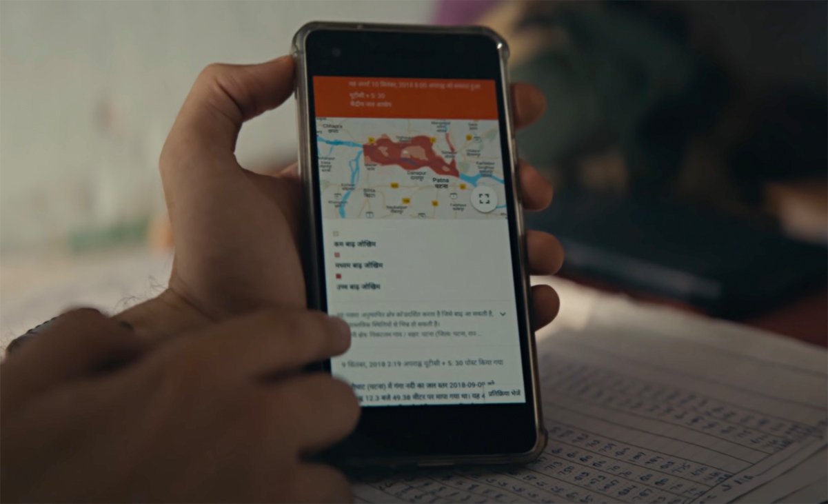
As soon as the service is activated,Users will begin to receive alerts and forecasts about river conditionsEvery time they browse or access Google Maps FloodHub, Google’s Flood PlatformFloods that provide information about gradual floods, that is, that there is time to send data as soon as the water starts to rise and that allows the population to relocate.
However, the cooperation agreement announced in Florianópolis Does not include flash floods things that happen suddenly, neither in cities in the spring waters of rivers, nor in rains in large urban centers.
How does the Flood Warning System work?
Luisa Phebo, leader of Social Impact Partnerships at Google, explains in a statement that the primary purpose of the Flood Warning System is to “develop products that provide people with reliable information at critical moments” using the computing power of the North American giant. Keep them safe before, during and after these events.”
The technology using machine learning created in 2018 is already in use in countries like India and Bangladesh, and is now available in 15 more countries in Colombia, Sri Lanka and Africa, as well as Brazil. Only in 2021, 115 million flood notices and warnings were sent to 23 million people🇧🇷
SGB, a publicly traded company under the Ministry of Mines and Energy, operates Hydrological Alert systems, monitors precipitation and river levels, and prepares risk maps in 17 watersheds on Brazilian territory. Systems coordinator Artur Matos says that although the information is on the SGB website, it is not “an easy way for the population.”
Source: Tec Mundo


