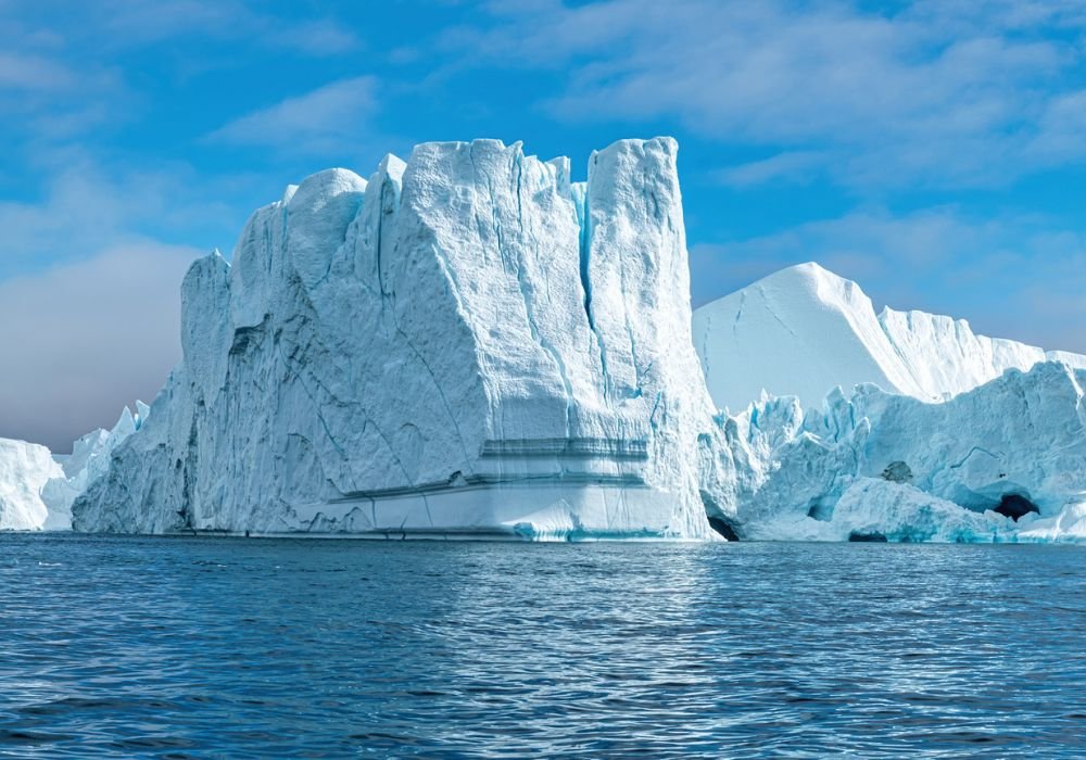
The new AI is capable of mapping giant icebergs in the ocean before you can even say the word “Titanic.” And no, this is not an exaggeration. It was developed by researchers at the University of Leeds in the United Kingdom. This program identifies pixel patterns in satellite images and highlights these icebergs in record time, within a hundredth of a second!
To give you an idea, this is about 10,000 times faster than the most efficient manual controls. Article titled “Mapping the size of Antarctica’s giant icebergs” Deep Learning” published in the scientific journal cryosphere. To better demonstrate this progress, pay attention to the video below:
The video shows the comparison between the use of artificial intelligence and manual control using specific programs to identify structures in satellite images.
As can be seen, ThisWhile the AI takes a hundredth of a second to perform the mapping, manual control takes more than 2 minutes. It may seem like a small thing, but in the routine of mapping the motions of polar structures that observe hundreds of structures every day, this results in a ridiculous amount of time savings.
In the second video, we can see in detail how the algorithm of the new program works. By analyzing image pixels, artificial intelligence is able to quickly identify the edges of objects, making the application very efficient in the case of large icebergs.
Application in maritime transport and climate change
You may be wondering what the actual application of this AI will be in the future. While there are many areas that can benefit from this speed and efficiency, Two of these stand out: Maritime transport and combating climate change..
In the first case, giant icebergs breaking off from the polar ice caps can cause accidents and block important routes for commercial and military transportation in the oceans. For this reason, constant mapping is required, just like in highways and air transportation.
Therefore, using the program Can reduce the likelihood of accidents like the TitanicWhich killed thousands of people and accelerated travel at the beginning of the 20th century.
Additionally, identifying icebergs can help better understand the melting state of polar ice caps and thus contribute to the analysis of research data on global warming and rising sea levels.
“Icebergs exist in hard-to-reach parts of the world. So not only are satellites a great tool for observing where they are, but they can also help scientists understand how they melt and separate. “Using the new AI system helps overcome some of the issues with existing automated approaches, which can have difficulty distinguishing between icebergs and other ice floating offshore, or even a nearby coastline in the same image,” said Dr. Anne Braakmann – The study was led by University of Leeds Polar Observation and Monitoring Folgmann directs at the Centre.
Find up-to-date information about science technology at TecMundo. If you wish, take the opportunity to learn about artificial intelligence that can detect and classify a thousand supernovae.
Source: Tec Mundo
I’m Blaine Morgan, an experienced journalist and writer with over 8 years of experience in the tech industry. My expertise lies in writing about technology news and trends, covering everything from cutting-edge gadgets to emerging software developments. I’ve written for several leading publications including Gadget Onus where I am an author.


